District Plan Review consultation now closed.
Initial public consultation on key draft changes to the current Selwyn District Plan closed on Monday 8 October 2018. Thank you to everyone who let us know what they thought of the review so far.
What’s next?
Following this initial public consultation on the District Plan Review, the Council will consider all feedback and start developing detailed provisions for the Proposed District Plan. Please note that a summary report on the initial public consultation will be made available on Your Say Selwyn website at www.selwyn.govt.nz/districtplanreview.
It’s expected the Proposed District Plan will beContinue reading
District Plan Review consultation now closed.
Initial public consultation on key draft changes to the current Selwyn District Plan closed on Monday 8 October 2018. Thank you to everyone who let us know what they thought of the review so far.
What’s next?
Following this initial public consultation on the District Plan Review, the Council will consider all feedback and start developing detailed provisions for the Proposed District Plan. Please note that a summary report on the initial public consultation will be made available on Your Say Selwyn website at www.selwyn.govt.nz/districtplanreview.
It’s expected the Proposed District Plan will be notified in early 2020 for formal public consultation. The longer timeframe is due to the local government elections at the end of 2019 and ensuring the newly elected Council endorses the Proposed District Plan before it gets notified.
We want to know what you think about the draft changes to the current District Plan's rules affecting rural density - that is the concentration of housing and size of property in the Rural Zone. These draft changes have been endorsed by the Selwyn District Council for further development as part of its District Plan Review.
How can I have a say?
To give us your feedback on the draft changes to, you can:
There will be many consultation opportunities for feedback at different stages of the District Plan Review and this is the first such opportunity. It’s expected that the new District Plan will be notified in early 2020 and be fully in place, subject to any Environment Court appeals, in March 2022.
Background
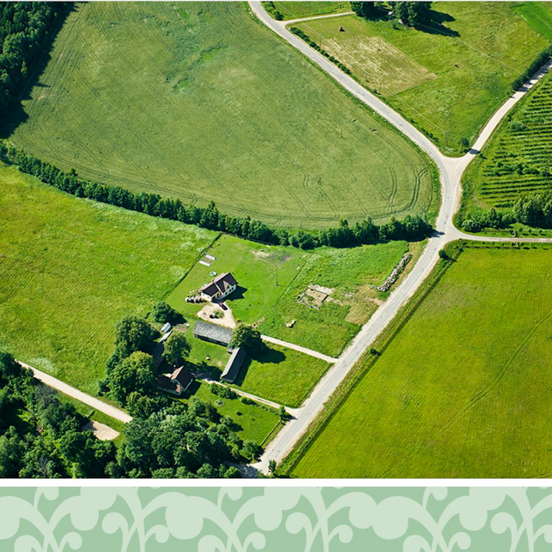
Rural density
Housing density and the size of properties within the Rural Zone have a fundamental impact on rural character, rural production, and reverse sensitivity issues. Reverse sensitivity is the vulnerability of an established land use (for example, farming) to complaints from a newly established, more sensitive land use (for example, new houses and other noise or odour-sensitive activities). In practice such complaints can compromise the established land use by restricting when or how it can operate.
Density within the Rural Zone in the current District Plan
Depending on the underlying characteristics of a rural area, the current District Plan requires certain densities of housing or minimum lot sizes, ie land parcels within the Rural Zone, to maintain the rural character of the area. The current rules for density or minimum lot sizes in the Rural Zone (ie the smallest permitted land parcel in the Rural Zone that you can build a house on without a resource consent) are:
- one dwelling per four hectares (ha) within the Inner Plains area (this also follows the requirement under the Canterbury Regional Policy Statement that residential density within rural zones cannot be less than one dwelling per four ha),
- one dwelling per 20 ha in the Outer Plains and Malvern Hills,
- one dwelling per 40 ha in the lower slopes of the Port Hills,
- one dwelling per 100 ha in the upper slopes of the Port Hills, and
- one dwelling per 120 ha within the High Country area.
The areas with the highest density (lowest minimum areas) are commonly located close to urban areas.
There are, however, exceptions to minimum lot sizes across all areas of the district. The ‘grandfather’ clause enables a house to be built on any rural site that doesn’t meet the minimum lot requirement, if the site is at least four hectares and existed prior to or between 12 September 1991 and 12 September 2001. The other exceptions – open space covenant, balance lots and clustering – enable smaller lots while ensuring that overall density is maintained as the covenanted land is required to make up the balance of the minimum area required.