We use cookies to ensure our site functions properly and to store limited information about your usage. You may give or withdraw consent at any time. To find out more, read our privacy policy and cookie policy.
Manage Cookies
A cookie is information stored on your computer by a website you visit. Cookies often store your settings for a website, such as your preferred language or location. This allows the site to present you with information customized to fit your needs. As per the GDPR law, companies need to get your explicit approval to collect your data. Some of these cookies are ‘strictly necessary’ to provide the basic functions of the website and can not be turned off, while others if present, have the option of being turned off. Learn more about our Privacy and Cookie policies. These can be managed also from our cookie policy page.
Strictly necessary cookies(always on):
Necessary for enabling core functionality. The website cannot function properly without these cookies. This cannot be turned off. e.g. Sign in, Language
Analytics cookies:
Analytical cookies help us to analyse user behaviour, mainly to see if the users are able to find and act on things that they are looking for. They allow us to recognise and count the number of visitors and to see how visitors move around our website when they are using it. Tools used: Google Analytics
Share Coastal hazards in Selwyn on FacebookShare Coastal hazards in Selwyn on TwitterShare Coastal hazards in Selwyn on LinkedinEmail Coastal hazards in Selwyn link
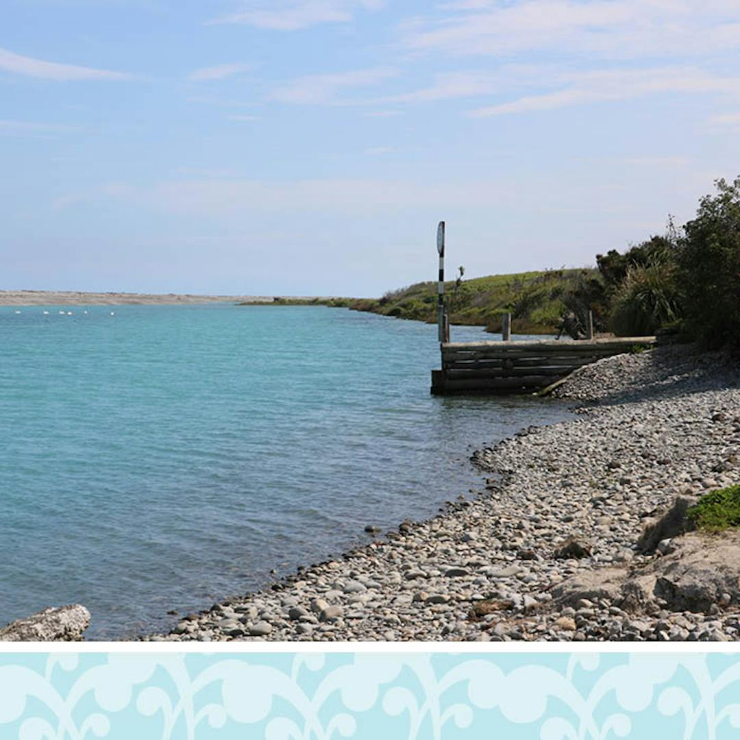
As part of the Selwyn District Plan Review, the Council has identified areas that may be at risk from coastal erosion and inundation (flooding by the sea) and developed proposed rules for how to manage that risk.
On this website you can find all relevant information on identified coastal hazards in Selwyn and how we propose to manage them in the new District Plan.
Background
Selwyn has a relatively small coastal environment with limited development opportunities, given the rural zoning of the area. The exceptions are the residential part of the coastline at Rakaia Huts, and the proposed Māori PurposeContinue reading
As part of the Selwyn District Plan Review, the Council has identified areas that may be at risk from coastal erosion and inundation (flooding by the sea) and developed proposed rules for how to manage that risk.
On this website you can find all relevant information on identified coastal hazards in Selwyn and how we propose to manage them in the new District Plan.
Background
Selwyn has a relatively small coastal environment with limited development opportunities, given the rural zoning of the area. The exceptions are the residential part of the coastline at Rakaia Huts, and the proposed Māori Purpose Zone at Taumutu with the Ngāti Moki marae.
When reviewing coastal hazards as part of the Selwyn District Plan Review, we have considered the following hazards:
coastal inundation (flooding by the sea of low-lying coastal areas; this is particularly likely when high tides and extreme weather occur at the same time);
coastal erosion (where the shoreline retreats on a temporary or permanent basis); and
Have a question about coastal hazards in Selwyn? We would like to hear from you.
Share where do I find a copy of the proposed flooding map? on FacebookShare where do I find a copy of the proposed flooding map? on TwitterShare where do I find a copy of the proposed flooding map? on LinkedinEmail where do I find a copy of the proposed flooding map? link
where do I find a copy of the proposed flooding map?