

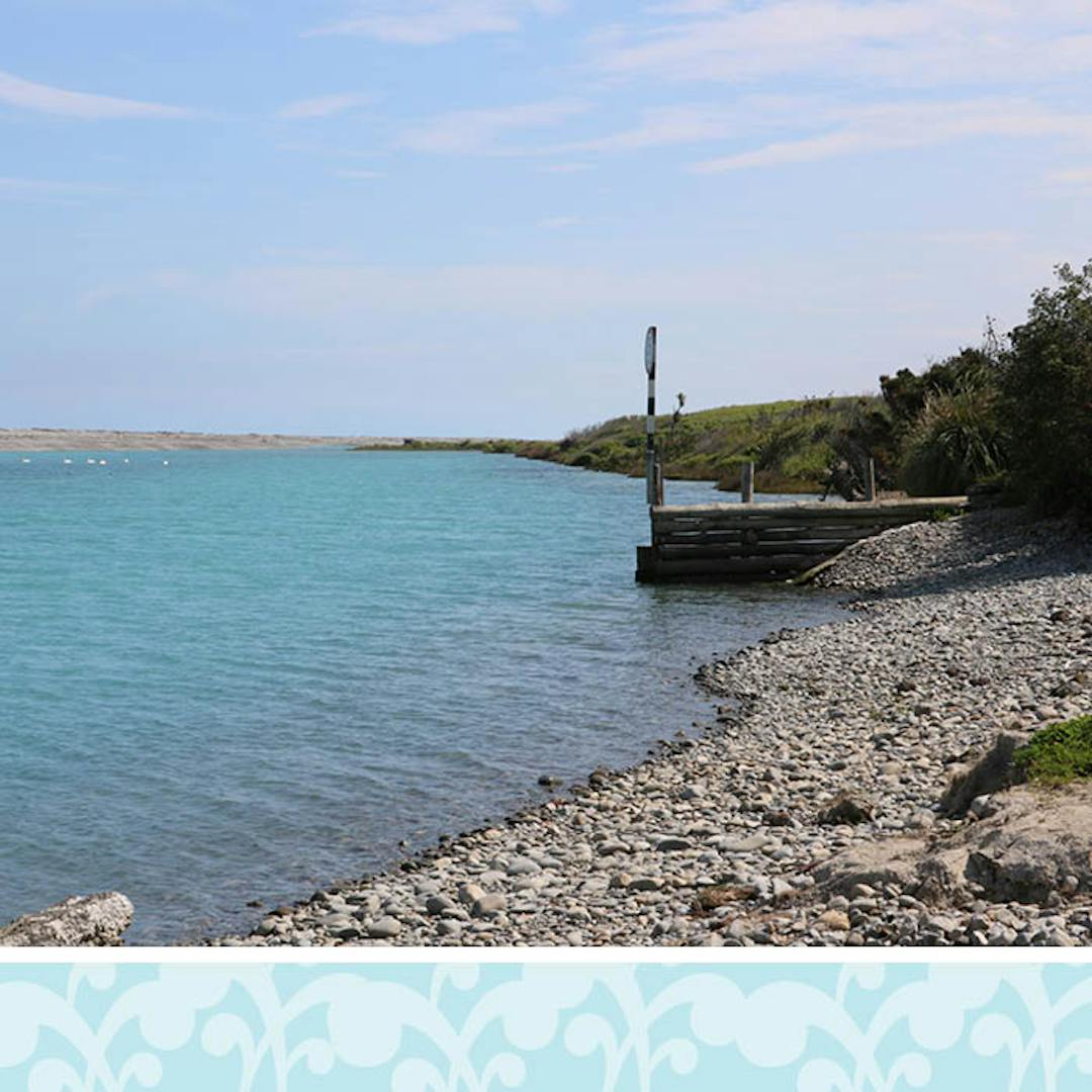
Coastal hazards in Selwyn
As part of the Selwyn District Plan Review, the Council has identified areas that may be at risk from coastal erosion and inundation (flooding by the sea) and developed proposed rules for how to manage that risk.
On this website you can find all relevant information on identified coastal hazards in Selwyn and how we propose to manage them in the new District Plan.
Background
Selwyn has a relatively small coastal environment with limited development opportunities, given the rural zoning of the area. The exceptions are the residential part of the coastline at Rakaia Huts, and the proposed Māori PurposeContinue reading
-
Key proposed changes for coastal erosion hazard in the new District Plan
Share Key proposed changes for coastal erosion hazard in the new District Plan on Facebook Share Key proposed changes for coastal erosion hazard in the new District Plan on X (formerly Twitter) Share Key proposed changes for coastal erosion hazard in the new District Plan on Linkedin Email Key proposed changes for coastal erosion hazard in the new District Plan link
- Proposing to replace the existing map of the Coastal Hazard 1 line in the current District Plan with the newly identified coastal erosion area and map it in the Proposed District Plan as a Coastal Erosion Overlay.
- This proposed coastal erosion area extends approximately 120 metres inland from the current shoreline and includes productive land, coastal wetland areas, coastal drainage systems and important coastal culvert structures. The area is similar to the existing Coastal Hazard 1 line for much of the district’s coastline, but extends further inland in some areas. The seaward boundary is the district boundary. TheContinue reading
-
Key proposed changes for coastal inundation hazard in the new District Plan
Share Key proposed changes for coastal inundation hazard in the new District Plan on Facebook Share Key proposed changes for coastal inundation hazard in the new District Plan on X (formerly Twitter) Share Key proposed changes for coastal inundation hazard in the new District Plan on Linkedin Email Key proposed changes for coastal inundation hazard in the new District Plan link
- Map low-lying coastal areas that may be susceptible to coastal inundation over the next 100 years: land that is less than four metres above sea level in rural areas and 5.8 metres above sea level in Rakaia Huts township. The different level for Rakaia Huts reflects the different coastal processes that take place within this township.
- This new coastal inundation area is shown on the map in the Proposed District Plan as a Coastal Inundation Overlay.
- For properties in the Rural Zone, any subdivision or building a new dwelling in an area at risk from coastal inundation wouldContinue reading
-
Managing coastal hazards in the current District Plan
Share Managing coastal hazards in the current District Plan on Facebook Share Managing coastal hazards in the current District Plan on X (formerly Twitter) Share Managing coastal hazards in the current District Plan on Linkedin Email Managing coastal hazards in the current District Plan link
The current District Plan identifies and manages an area outlined on the planning map as Coastal Hazard 1 line for Selwyn District. Any development on land between the line and the sea requires a resource consent to enable an assessment of natural hazard risk.
At Rakaia Huts, building any new dwelling or other principal building, and working on an existing dwelling on the lower river terrace is a non-complying activity. Non-complying activity status is a way for a council to signal that when processing a resource consent for an activity, it will be subject to a greater degree of scrutinyContinue reading

